|
|
Post by hoosier on Jun 29, 2015 9:47:56 GMT -5
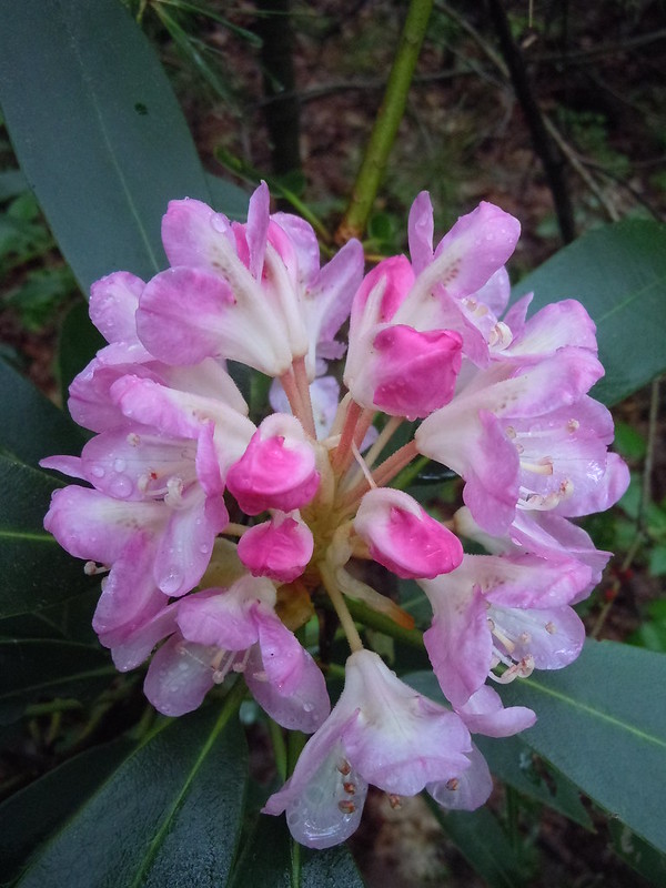
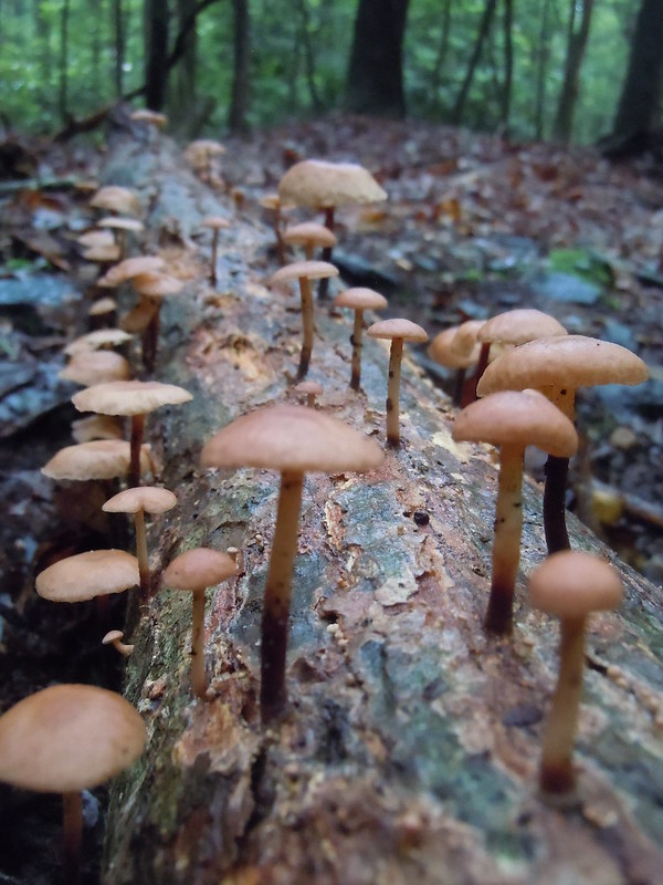
Sunday June 28, 2015 Lebanon Reservoir I decide on Sunday to take a quick trip up to the Lebanon Reservoir area. To take a look at the progress of the Rhododendrons blooms that are so fully present on the hike around the reservoir, as described on MR Hykers hiking website. I fully intended to do the full loop as described on his website, as I’ve done at least five times. But high water on the Western Branch of the Fishing Creek would preclude that from happing on this day. But the day was not a loss by far. As there was just so many things to look at. Early Blooming Rhododendrons. A few fully open, and some just getting started, raging whitewater, fungi of all types. In addition while heading back and exploring a bit. I happened to find one of the cable crossing of Fishing Creek that was mentioned in a critique of the Lebanon Reservoir – Sharp Mountain Loop hike by iwtrekpa on MR Hykers webpage I figure to head back up this 4th of July weekend. As the Rhododendrons should be in their full glory by then. A few pictures from the days hike.  


 |
|
|
|
Post by jmitch on Jun 30, 2015 15:00:49 GMT -5
Is there a trail along the northwest shore of the reservoir, between the two inlets? I need to hike this sometime.
|
|
|
|
Post by hoosier on Jul 1, 2015 5:41:03 GMT -5
Is there a trail along the northwest shore of the reservoir, between the two inlets? I need to hike this sometime. There is an old woods road that runs on the north side of the reservoir. But I've never followed it to the west. But it supposedly (as per SGL maps) connects back to the old S&S rail road bed trail that runs from Gold Mine Road to the Lebanon Reservoir Dam Brest.
If one was to do the Lebanon Mountain -Sharp Mtn hike as described on MR Hykers web site. And followed the directions along the easterly side of the reservoir. Just after the first major stream crossing (west branch of the fishing creek) there is a wide opening to the left. It one looks closely you can make out a faint path heading to the left and slightly uphill. If you follow this faint path. it will become more distinct and climb the hillside. Before turning sharply left at remnants of the woods road which runs downhill and eventually along the north side of the reservoir.
The woods road typically is anywhere from a few hundred yards to a 100 feet or so from the reservoirs north shoreline. When water levels are lower I typically will rock hop the northerly shoreline to the westerly inlet
If you ever decide on a trip down. Let me know if you want any company, as I could show you around the area if you'd like
|
|

