

Return to Dothan Valley
Feb 7, 2015 0:04:14 GMT -5
Post by AegisIII on Feb 7, 2015 0:04:14 GMT -5
Photos
I've been wanting to head back to Dothan Valley (SGL 76) for a couple of years. When I was there the other time, there was unexpected fog and thus the nothing or very little could be seen from the vistas. This time it was clear, even considering the occasional light flurries at the beginning of the hike.
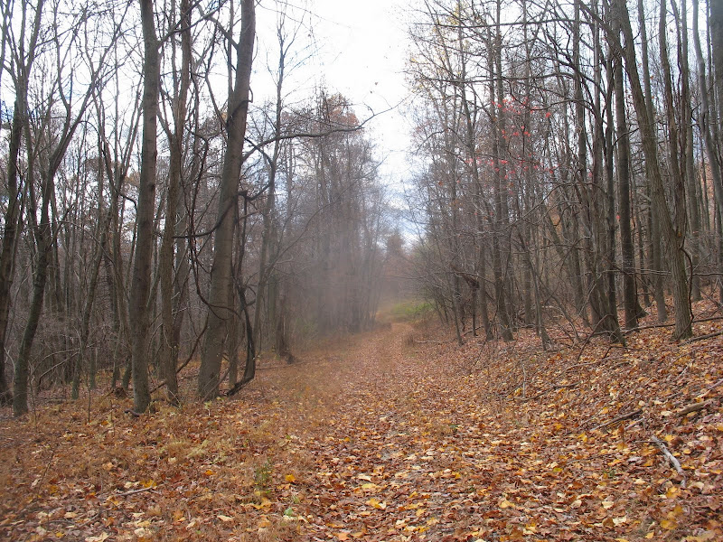
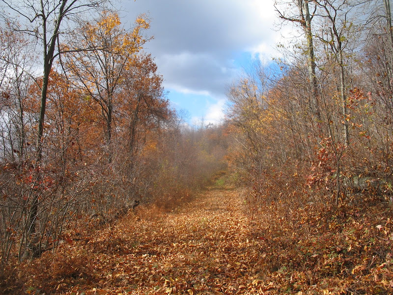
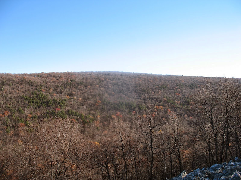
The hike mainly follows wide gameland trails for the most part, starting from PA-641 at the summit of Timmons Mountain. It starts as a walk along the ridge, past an eastern vista at the second parking area, then a radio tower before dropping into Dothan Valley. Digging a road bed through the steep talus slope of the mountain must have been a big undertaking. I then walked southwest in the valley past some wildlife clearings and nearby some vernal ponds until I reached a trail climbing back up Timmons Mountain. The climb was not too bad, but once back atop the ridge the trail was overgrown with assorted briars. (Other time I was here it was clear.) It was thus slow going to the powerline clearing. Here is a good view both west to Path Valley and Tuscarora Mountain in late autumn glory, and east through Dothan Valley and The Narrows in Kittantting Mountain, Blue Mountain beyond. The east portal of the PA Turnpike's Tuscarora Tunnel is within good view. (The west portal can be seen from Priceless Point.)


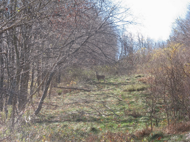
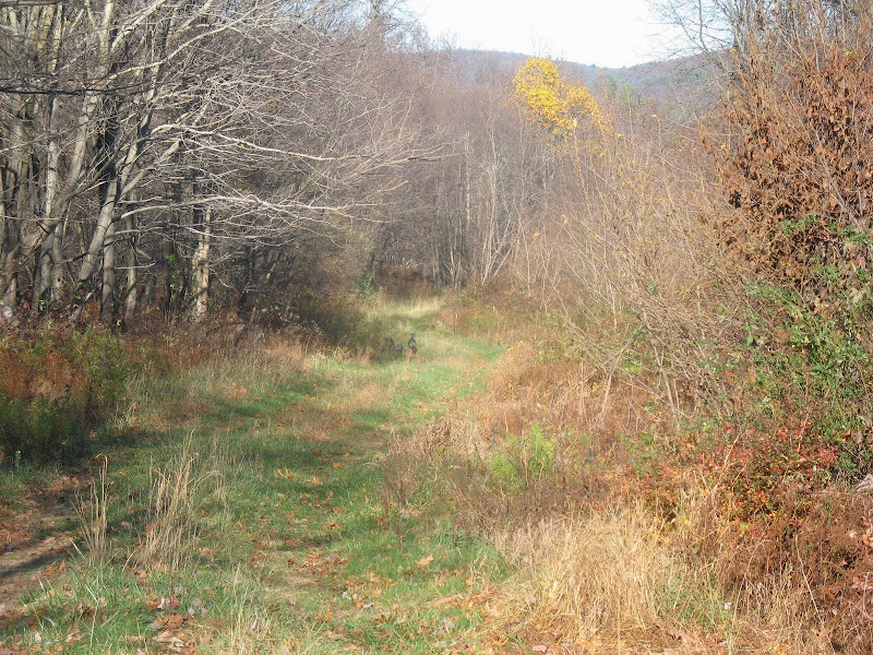
After the powerline is a short bushwhack continuing south on the ridge to reach a pipeline clearing. (I did not find the water bottle I lost last time I was here.) Only a minor view when I reach the pipeline. Also, like the trail I was on before, the pipeline was heavy with briars with only game paths to head through. (It was clear the other time.) Thankfully it was cold so I was in pants and long sleeves. I took the pipeline along the ridge, seeing a herd of deer. There are some talus slopes nearby, but the terrain is too steep and rocky to get to any views. Then followed it down back into Dothan Valley, passing the main gamelands trail. Took the pipeline up Kittatinning Mountain, minor view up top. One potential trail along the way, but more likely a game path.
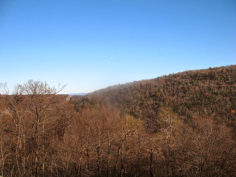
Back at the main valley trail, I headed back north to the bottom of the trail, where one merges from The Narrows. I take it into the tight water gap in the ridge, soon crossing the nearly dry stream. I decided there'd be no reason to continue down the trail this time. So I had lunch by the lightly flowing stream, and then started my bushwhack. I headed up the western slope of Kittatting Mountain, first through the steep, rocky area of hemlocks near the bottom, transitioning to a less steep area, but often heavy in mountain laurel. I tried following game paths as much as possible, but these were not always going in the direction I wanted to go, or were not always passable for a human. At the top I followed better game paths along the wide open ridgetop until I reached the powerline again. Again, a good view in autumn, especially of Horse Valley and Blue/Broad Mountain to the east, with the Cumberland Valley and South Mountain peeking through a high gap.


Back on trail, I head up along the ridge. I try to find some other views, but was unsuccessful. I decided to see where a narrower trail continued north as the main trail headed back into Dothan Valley. It petered out, nothing of interest. I then headed back into the valley past the headwaters of Dothan Run and then back to the main valley trail at the largest clearing. I then followed my steps back to the trailhead, spotting a small flock of turkeys ahead of me at one point and taking in the parking overlook one last time.
I've been wanting to head back to Dothan Valley (SGL 76) for a couple of years. When I was there the other time, there was unexpected fog and thus the nothing or very little could be seen from the vistas. This time it was clear, even considering the occasional light flurries at the beginning of the hike.
The hike mainly follows wide gameland trails for the most part, starting from PA-641 at the summit of Timmons Mountain. It starts as a walk along the ridge, past an eastern vista at the second parking area, then a radio tower before dropping into Dothan Valley. Digging a road bed through the steep talus slope of the mountain must have been a big undertaking. I then walked southwest in the valley past some wildlife clearings and nearby some vernal ponds until I reached a trail climbing back up Timmons Mountain. The climb was not too bad, but once back atop the ridge the trail was overgrown with assorted briars. (Other time I was here it was clear.) It was thus slow going to the powerline clearing. Here is a good view both west to Path Valley and Tuscarora Mountain in late autumn glory, and east through Dothan Valley and The Narrows in Kittantting Mountain, Blue Mountain beyond. The east portal of the PA Turnpike's Tuscarora Tunnel is within good view. (The west portal can be seen from Priceless Point.)
After the powerline is a short bushwhack continuing south on the ridge to reach a pipeline clearing. (I did not find the water bottle I lost last time I was here.) Only a minor view when I reach the pipeline. Also, like the trail I was on before, the pipeline was heavy with briars with only game paths to head through. (It was clear the other time.) Thankfully it was cold so I was in pants and long sleeves. I took the pipeline along the ridge, seeing a herd of deer. There are some talus slopes nearby, but the terrain is too steep and rocky to get to any views. Then followed it down back into Dothan Valley, passing the main gamelands trail. Took the pipeline up Kittatinning Mountain, minor view up top. One potential trail along the way, but more likely a game path.
Back at the main valley trail, I headed back north to the bottom of the trail, where one merges from The Narrows. I take it into the tight water gap in the ridge, soon crossing the nearly dry stream. I decided there'd be no reason to continue down the trail this time. So I had lunch by the lightly flowing stream, and then started my bushwhack. I headed up the western slope of Kittatting Mountain, first through the steep, rocky area of hemlocks near the bottom, transitioning to a less steep area, but often heavy in mountain laurel. I tried following game paths as much as possible, but these were not always going in the direction I wanted to go, or were not always passable for a human. At the top I followed better game paths along the wide open ridgetop until I reached the powerline again. Again, a good view in autumn, especially of Horse Valley and Blue/Broad Mountain to the east, with the Cumberland Valley and South Mountain peeking through a high gap.
Back on trail, I head up along the ridge. I try to find some other views, but was unsuccessful. I decided to see where a narrower trail continued north as the main trail headed back into Dothan Valley. It petered out, nothing of interest. I then headed back into the valley past the headwaters of Dothan Run and then back to the main valley trail at the largest clearing. I then followed my steps back to the trailhead, spotting a small flock of turkeys ahead of me at one point and taking in the parking overlook one last time.