

Raccoon Run loop
Jan 7, 2015 22:38:06 GMT -5
Post by AegisIII on Jan 7, 2015 22:38:06 GMT -5
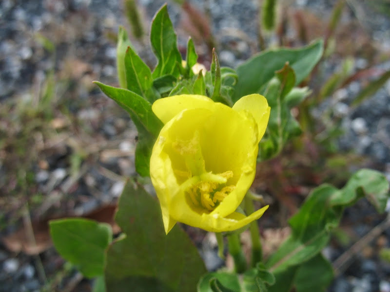
Photos
We were discussing the Raccoon Run circuit on the forums back in September, a Michaux hike I had somewhat surprisingly not yet done.
So I found myself at Caledonia State Park to do the hike. I did an alternate route to the rt 30 crossing, taking the Trolley Trail instead of the Appalachian Trail, as I had not been on the TT. The TT is easier, but the AT is nicer. Back on the AT, I eventually crossed the road and began the long and slow climb of Rocky Mountain. Autumn was at its beginning. The climb is not rocky, nor is the beginning of the trek along the top's wide plateau near its north end. Rocks start at a final short, steep climb to the ridgeline. There are two rocky ridgeline sections along Rocky Mountain, with a rest between them, plus the shelter along a side trail. One slightly off-trail view atop a rock pile.


After descending for the second time from the ridge, I bushwhacked west away from the trail for a hundred feet or so to reach a paralleling trail next to a logging area. I headed south on the singletrack trail, sometimes following the edge of an old logged area, sometimes staying slightly above it. Found a good large boulder for lunch while in the older growth area, then headed to an old log landing, picking up a woods road converted into a trail with some very nice turnpiking. This took me to the waterline for Mont Alto, about 50 feet below the AT. Back on the AT, I descended the southern end of Rocky Mountain, crossed 233, and headed to the southern terminus of the Raccoon Run Trail.


The southern end of this trail is actually an old paved road. Though, it's become part of the forest so completely that the width of the trail, and a couple of well built culverts is pretty much all that is left of the road; the pavement is essentially fully covered by dirt now. The trail leaves the roadbed and follows next to a drainage ditch for 20 feet or so to reach back to 233, a short bit east of a pond at the main stop sign in South Mountain.

The continuation of the Raccoon Run Trail at this point is a touch obscure. Just west of the road junction is a possible parking area which leads into a probable utility clearing with wetlands, and the blazes suggest this is the way to go, even though there is no clear trail through the wetlands. Looking carefully, there is another blaze on the east side of the clearing, a bit away from the road, as the trail crosses it at an angle. Also watch out for poison ivy here. The trail then closely parallels rt 233 for a bit, staying generally about 20-50 feet away, sometimes more, sometimes less. The land has been heavily worked in this area, perhaps from building the road or some shallow quarries. A couple of rock fields.

The trail then crosses the road, and descends to cross Rocky Mountain Creek on some bridges. It reaches a trail junction at a small quarry just past the final bridge, once a nicer one than it is now. The continuation is not clear, but turn left and go gently uphill. It starts as nice singletrack, and then near the top alternates between singletrack, woods road, and rare logging road. Many charcoal flats. Some blue blazes are painted over old white blazes, as this was once the AT. The trail drops to District Road, uses its bridge to cross Raccoon Run, and then leaves the road to continue north. (This is actually a slight change from the 1959 AT route, which did not use the road bridge.)


A small distance from the road is a large clearing. This was the site of the Raccoon Run Shelters, now no more save for a couple of partial concrete foundations. This is now one of Michaux's drive up reservation camping sites. Past the clearing, the trail follows a nice woods road to the north. Crossing the next road it becomes singletrack, and now in a mostly pine-hemlock woods. It crosses a couple of small streams, and generally heads on the side of short hills, before dropping to the bank of Raccoon Run, lightly flowing but nice, near some cabins. It crosses a pipeline clearing near the Totem Pole Playhouse, then back into the woods for a short distance before reaching the road near the Playhouse and golf course. Watch for poison ivy in these lowland stretches.


Past here, the trail uses the roads to cross Raccoon Run and Carbaugh Run, and reaches the junction of 233 and 30. (Here, technically, the trail follows the eastbound shoulder of 30 west for a bit before crossing at the Blacksmith House.) It's better to instead cross at the light, and then head through the park back to wherever you parked.
We were discussing the Raccoon Run circuit on the forums back in September, a Michaux hike I had somewhat surprisingly not yet done.
So I found myself at Caledonia State Park to do the hike. I did an alternate route to the rt 30 crossing, taking the Trolley Trail instead of the Appalachian Trail, as I had not been on the TT. The TT is easier, but the AT is nicer. Back on the AT, I eventually crossed the road and began the long and slow climb of Rocky Mountain. Autumn was at its beginning. The climb is not rocky, nor is the beginning of the trek along the top's wide plateau near its north end. Rocks start at a final short, steep climb to the ridgeline. There are two rocky ridgeline sections along Rocky Mountain, with a rest between them, plus the shelter along a side trail. One slightly off-trail view atop a rock pile.
After descending for the second time from the ridge, I bushwhacked west away from the trail for a hundred feet or so to reach a paralleling trail next to a logging area. I headed south on the singletrack trail, sometimes following the edge of an old logged area, sometimes staying slightly above it. Found a good large boulder for lunch while in the older growth area, then headed to an old log landing, picking up a woods road converted into a trail with some very nice turnpiking. This took me to the waterline for Mont Alto, about 50 feet below the AT. Back on the AT, I descended the southern end of Rocky Mountain, crossed 233, and headed to the southern terminus of the Raccoon Run Trail.
The southern end of this trail is actually an old paved road. Though, it's become part of the forest so completely that the width of the trail, and a couple of well built culverts is pretty much all that is left of the road; the pavement is essentially fully covered by dirt now. The trail leaves the roadbed and follows next to a drainage ditch for 20 feet or so to reach back to 233, a short bit east of a pond at the main stop sign in South Mountain.
The continuation of the Raccoon Run Trail at this point is a touch obscure. Just west of the road junction is a possible parking area which leads into a probable utility clearing with wetlands, and the blazes suggest this is the way to go, even though there is no clear trail through the wetlands. Looking carefully, there is another blaze on the east side of the clearing, a bit away from the road, as the trail crosses it at an angle. Also watch out for poison ivy here. The trail then closely parallels rt 233 for a bit, staying generally about 20-50 feet away, sometimes more, sometimes less. The land has been heavily worked in this area, perhaps from building the road or some shallow quarries. A couple of rock fields.
The trail then crosses the road, and descends to cross Rocky Mountain Creek on some bridges. It reaches a trail junction at a small quarry just past the final bridge, once a nicer one than it is now. The continuation is not clear, but turn left and go gently uphill. It starts as nice singletrack, and then near the top alternates between singletrack, woods road, and rare logging road. Many charcoal flats. Some blue blazes are painted over old white blazes, as this was once the AT. The trail drops to District Road, uses its bridge to cross Raccoon Run, and then leaves the road to continue north. (This is actually a slight change from the 1959 AT route, which did not use the road bridge.)
A small distance from the road is a large clearing. This was the site of the Raccoon Run Shelters, now no more save for a couple of partial concrete foundations. This is now one of Michaux's drive up reservation camping sites. Past the clearing, the trail follows a nice woods road to the north. Crossing the next road it becomes singletrack, and now in a mostly pine-hemlock woods. It crosses a couple of small streams, and generally heads on the side of short hills, before dropping to the bank of Raccoon Run, lightly flowing but nice, near some cabins. It crosses a pipeline clearing near the Totem Pole Playhouse, then back into the woods for a short distance before reaching the road near the Playhouse and golf course. Watch for poison ivy in these lowland stretches.
Past here, the trail uses the roads to cross Raccoon Run and Carbaugh Run, and reaches the junction of 233 and 30. (Here, technically, the trail follows the eastbound shoulder of 30 west for a bit before crossing at the Blacksmith House.) It's better to instead cross at the light, and then head through the park back to wherever you parked.


