
TR: Bull Run Mountains Conservancy Before it Closes
Jan 5, 2015 16:56:29 GMT -5
Post by rpcv on Jan 5, 2015 16:56:29 GMT -5
I didn't get out much in December. Too much going on and too little time. On Friday, a friend and I decided to visit Bull Run Mountains Conservancy (BRMC) and do the hike to High Point before they close that trail on January 15. I have driven by the cliffs hundreds of times, but I didn't actually realize the area is open to the public (I overlooked it on this site). There were a lot of cars in the parking lot when we arrived (and even more when we finished), but we really didn't see that many people. I think a lot of people took the most direct route to the cliffs and whereas did the loop described on this site. It was a really pleasant hike. High Point was really nice. The view from the cliffs was very pretty. I haven't been many places where you can see the Blue Ridge like that from the east, so this was a nice change. I'm of two minds about the closure. I can see why they are closing it due to impact. There are social trails everywhere and we saw several groups who were ignoring the ban on pets. On the other hand, it didn't look any more heavily impacted than any of the other similar hikes that close to the DC metro area (e.g. Billy Goat Trail, Sugarloaf, Prince William Forest, Catoctin, etc.). I'm not sure they will ever be able to reopen it and avoid those types of impacts without severely restricting the number of visitors.
Beyond High Point, there are a lot of interesting little historical sites to see. We had a lot of fun exploring the Catlett Branch valley. This was a nice little hike, but I'm not sure I'll be back. Without the trail up to high point, the short distance doesn't really make the drive worth it. In any case, I'm glad we got out to see it.
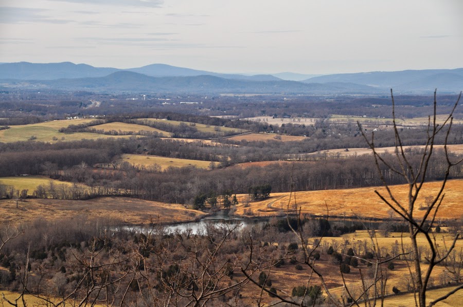
View to the west from High Point. You can see Chester Gap in the right-center of the photograph.
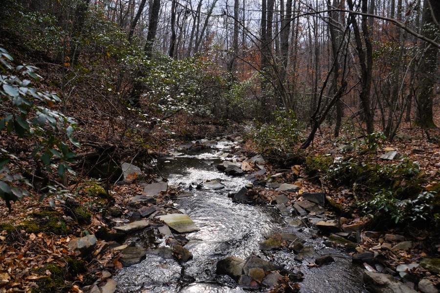
Mountain Laurel over Catlett Branch.
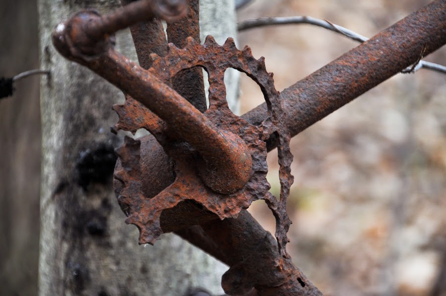
An old bicycle frame on a tree.
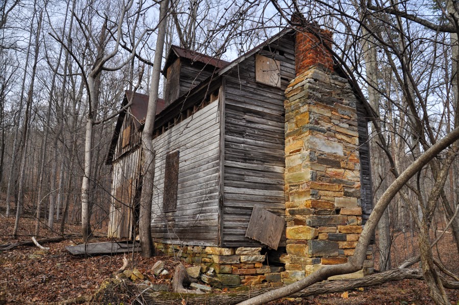
Abandoned farmhouse. This structure was interesting because the back half was actually a barn.
There are a few more pictures on my blog.
Beyond High Point, there are a lot of interesting little historical sites to see. We had a lot of fun exploring the Catlett Branch valley. This was a nice little hike, but I'm not sure I'll be back. Without the trail up to high point, the short distance doesn't really make the drive worth it. In any case, I'm glad we got out to see it.
View to the west from High Point. You can see Chester Gap in the right-center of the photograph.
Mountain Laurel over Catlett Branch.
An old bicycle frame on a tree.
Abandoned farmhouse. This structure was interesting because the back half was actually a barn.
There are a few more pictures on my blog.


