|
|
Post by GaliWalker on Jun 10, 2018 12:52:05 GMT -5
I headed over to central Pennsylvania yesterday to check out the southern end of the Standing Stone Trail. With thunderstorms in the forecast for later in the day I wanted to be done by lunchtime, so I was at Cowans Gap Lake, which is where my hike started, by 6:00am. The lake surface was quite still, except for some anglers gliding around in their boats. I spent some time watching their antics and enjoying the lake shore, before picking up the Tuscarora Trail from the northern end of the lake. 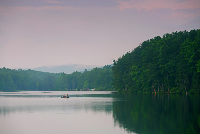 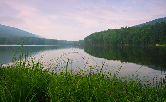 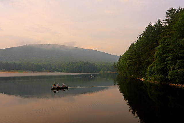 The mostly flat Tuscarora Trail was gorgeous: fern fields, under a lush green canopy, glowed in the mellow morning light. Walking through the forest was a soothing balm for the senses. 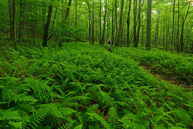 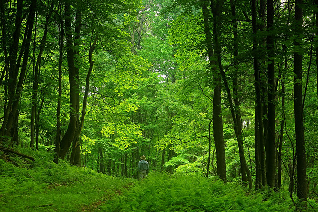 About 4mi in, as I took a left on Todds Trail my magic carpet was rudely pulled from my under my feet. A stiff climb up the flanks of Cove Mountain ensued as I gained ~800ft in about 0.6mi, most of it coming in the final 0.3mi. I gained the crest of the ridge to intersect the Standing Stone Trail. I initially headed right on this for 0.2mi to check out the Sideling Hill Vista, and then retraced my steps back along the Standing Stone Trail. The remaining part of the hike was along the ridge crest, riding the rollercoaster ride that was the Standing Stone Trail. Knife-edged sections, fern fields, mountain laurel in bloom, rocky outcrops and the occasional views to east and west, kept the interest quotient high throughout. 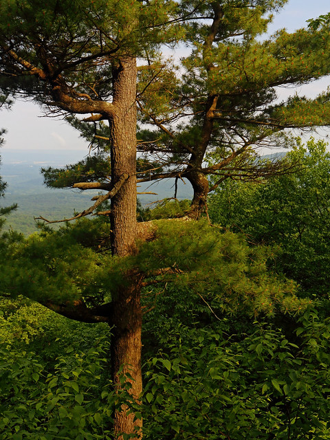 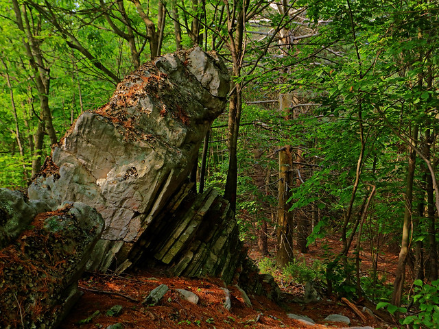   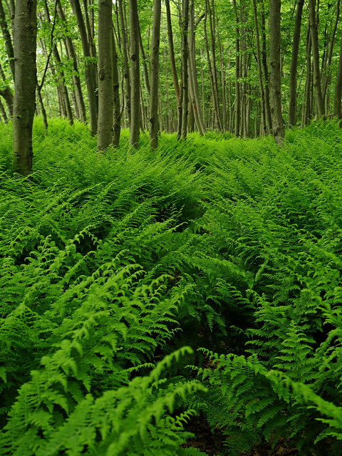 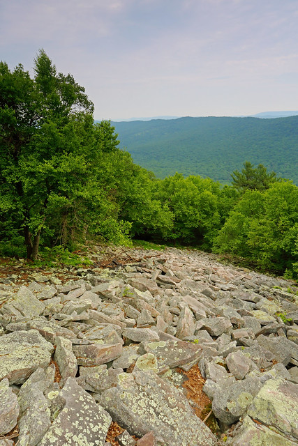 I spooked a rattlesnake in these rocks, which then spooked me by announcing its displeasure with a prolonged rattle I spooked a rattlesnake in these rocks, which then spooked me by announcing its displeasure with a prolonged rattle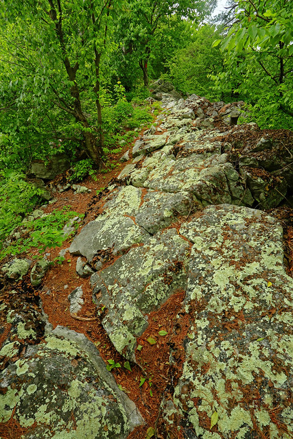 Tough terrain to walk on Tough terrain to walk on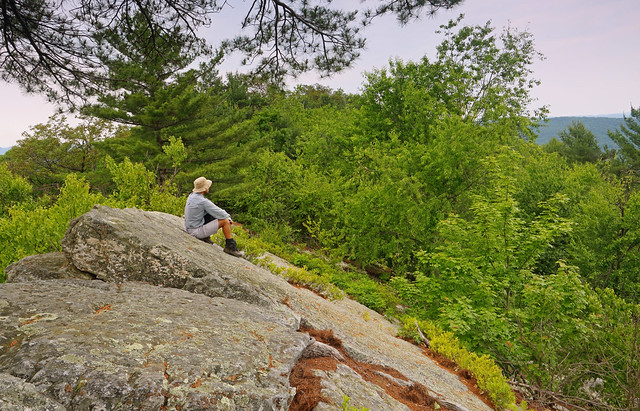 Enjoying a break at the Slanted Rock Viewpoint Enjoying a break at the Slanted Rock Viewpoint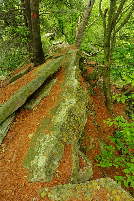 Knife-edge ridge in the woods Knife-edge ridge in the woods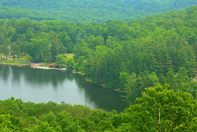 Cowans Gap Lake Cowans Gap LakeI reached the car around 7hrs after starting. Stats: 11mi, 1800ft elevation gain, 7hrs |
|
|
|
Post by hoosier on Jun 11, 2018 5:53:24 GMT -5
Great Loop there Galiwalker.
I think the Standing Stone Trail may be the Pennsylvania Trail with the most Rattlesnakes per mile. I usually never fail to see when when hiking that trail during the warmer months
|
|
ki0eh
Forum Elder
Posts: 196 
|
Post by ki0eh on Jun 21, 2018 21:25:32 GMT -5
I remember the Todd Trail when it was part of the (then) Link Trail BEFORE it was switchbacked, that was an experience!
|
|
|
|
Post by GaliWalker on Jun 25, 2018 10:24:42 GMT -5
I remember the Todd Trail when it was part of the (then) Link Trail BEFORE it was switchbacked, that was an experience! Yup I saw that spot, where the trail really steepened, and was quite disappointed when a longish switchback bypassed it. I was half-tempted to ignore the switchback but wasn't sure where/if the two met higher up.
When I lived in Seattle, I used to do conditioning hikes on a mountain that was like that part...for two of the longest miles you'll ever see (4000ft of elevation were gained in those 2mi). So, now whenever I see a gradient of 2000ft/mi, I want to tackle it, just to see how I stack up. |
|
ki0eh
Forum Elder
Posts: 196
|
Post by ki0eh on Jun 25, 2018 12:48:08 GMT -5
|
|


