
TR: Walking Across New Jersey on the Appalachian Trail
Oct 17, 2016 15:09:17 GMT -5
Post by rpcv on Oct 17, 2016 15:09:17 GMT -5
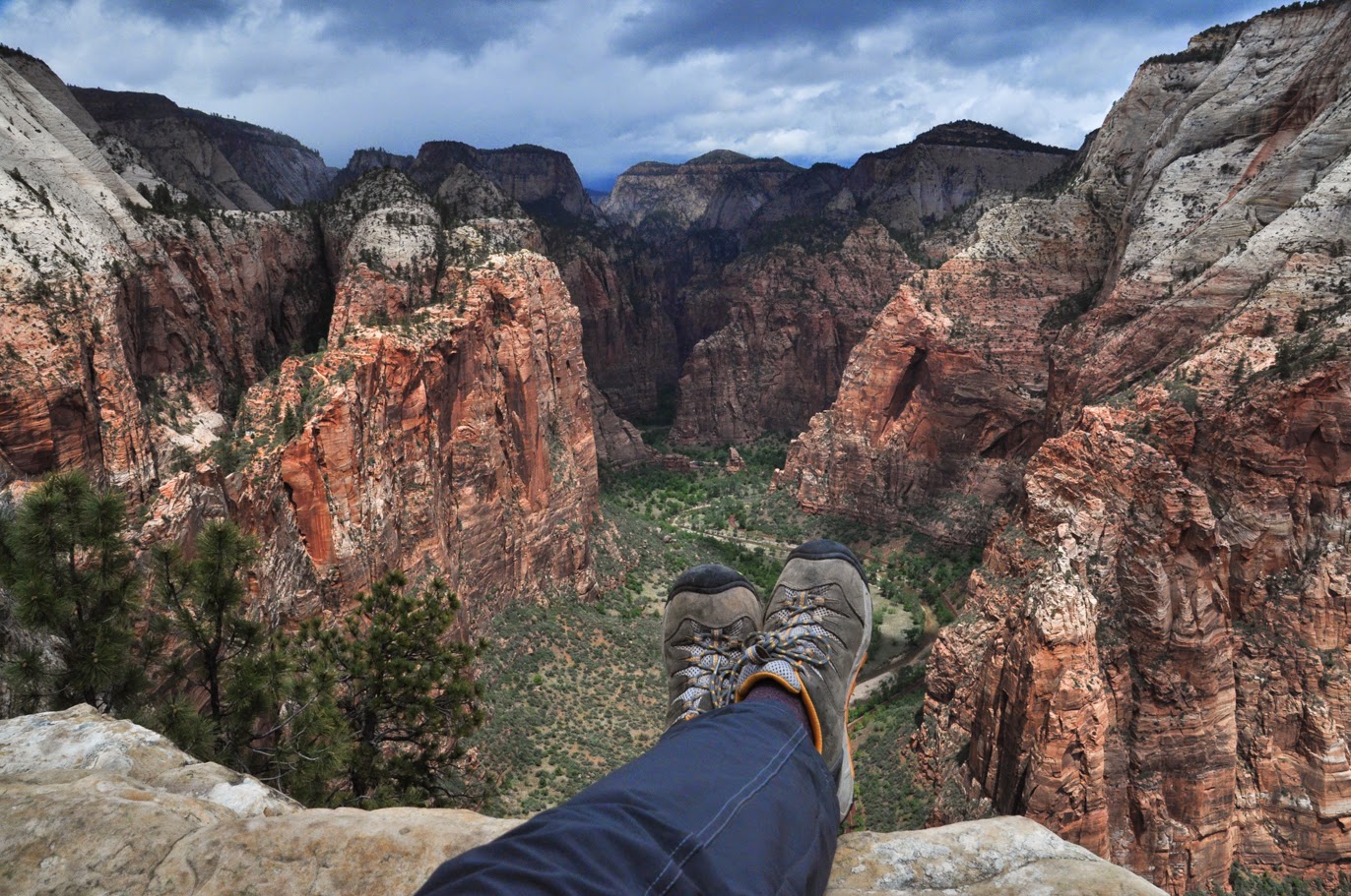
My husband, two friends and I spent eight days hiking all 72 miles of the Appalachian Trail in New Jersey. We wound up hiking a total of 78 miles because the first road crossing in New York is six miles north of the NJ/NY border. This trip was the idea of one of our friends. She was born in NJ and she thought it would be cool to hike across her home state. I have to say, I was really impressed. It was stunningly beautiful, especially the last half of the trip. I think this section of the Appalachian Trail gets overlooked a little and it really is nice.
We spent the first two days hiking in the clouds. The one part of the trip that didn't quite work out as planned was that we didn't really see Delaware Water Gap. We were in the fog until we were well past it. Luckily, however, it only rained once the entire week and that was at night after we had all crawled into our tents. The terrain is really varied in New Jersey. The first half of the trip consisted of walking along the tops of ridges and we got nice views fairly frequently. After High Point, the trail crosses a number of valleys with farmland and wetlands between a series of ridges that have to be crossed.
It was a great trip. We definitely saw other people, including a number of southbounders on their way to Georgia, but it was never particularly crowded.
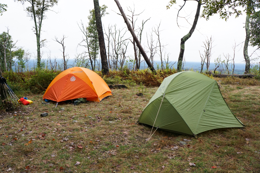
Camping at the Backpackers Site in Delaware Water Gap National Recreation Area.
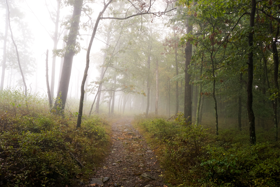
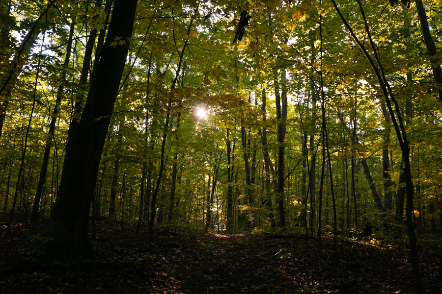
This is what most of our second day looked like. No complaints, it was still really pretty.
On the morning of the third day, we were eating breakfast when I looked up and realized I could see blue sky. It took a couple of hours, but soon enough, we were hiking in sunshine, which was a welcome change. We took a break at lunch and spread all the damp gear out to dry.
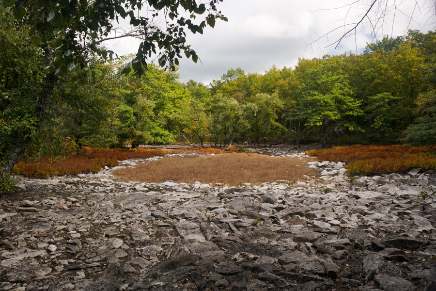
The old pond where we had lunch on day 3.
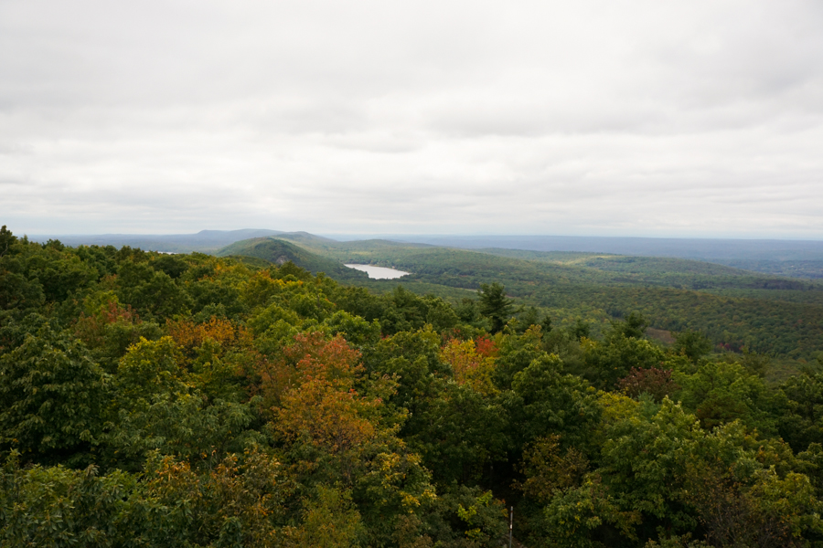
Looking south towards where we started.
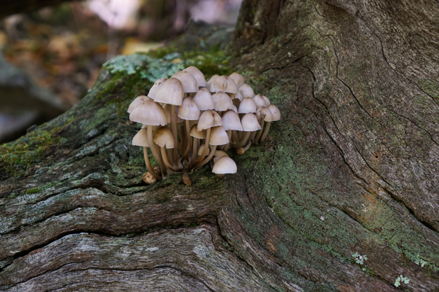
Mushrooms on a log near High Point
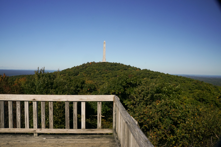
The monument at High Point State Park from the platform on the AT. We didn't hike up to the monument because we had all been there before.
As we hiked north, we saw more and more color on the trees. This was east of High Point State Park.
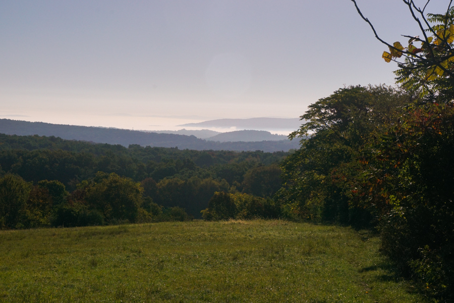
East of High Point, the trail descends into the valley and starts crossing farmland. We had great views through the section and in the morning, many of the valleys were filled with fog.
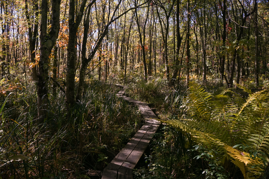
We also started crossing wetlands. New Jersey has and extensive network of bog boards on the AT, some of which are impressively long.
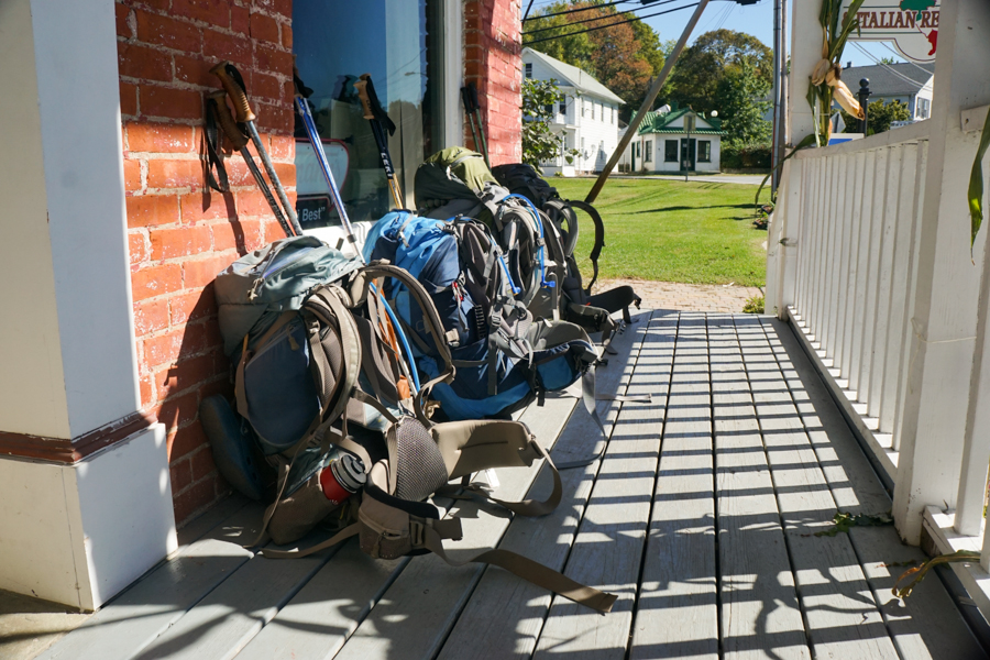
We stopped in Unionville, New York for pizza on our sixth day, which was a nice change from eating out of a ziplock bag.
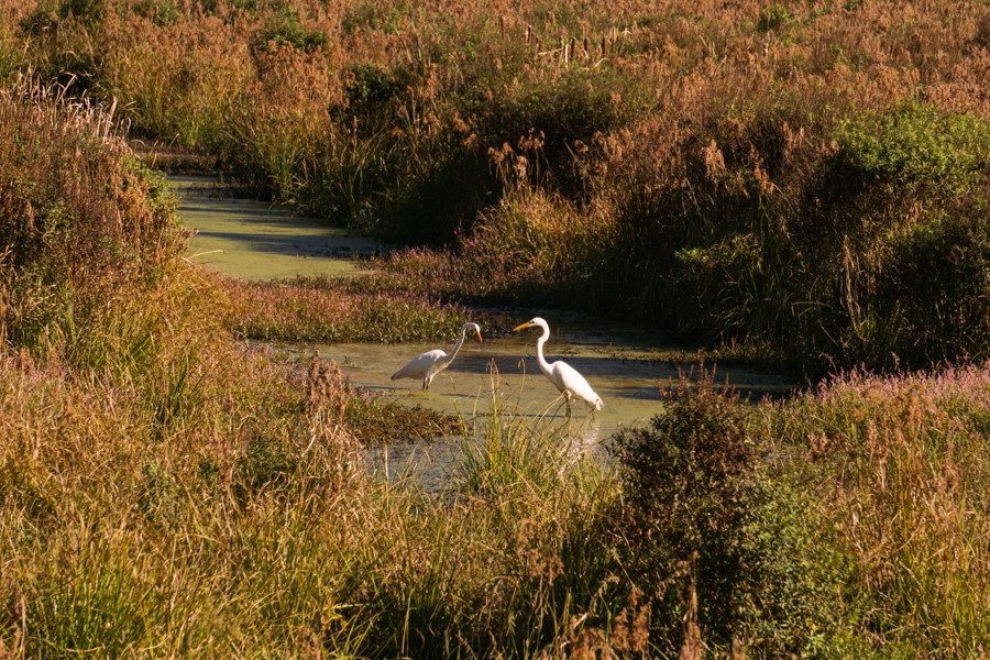
The AT crosses the Walkill National Wildlife Refuge. There were lots of ducks and cranes in the water.
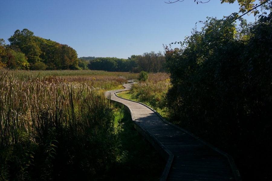
The Pochuck Boardwalk.
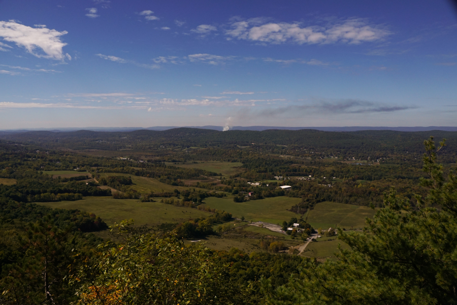
The view from Wayawanda Mountain on our seventh day. We could see all the way back to Delaware Water Gap and, although, you can't really make it out in the photo, the monument at High Point is visible, too.
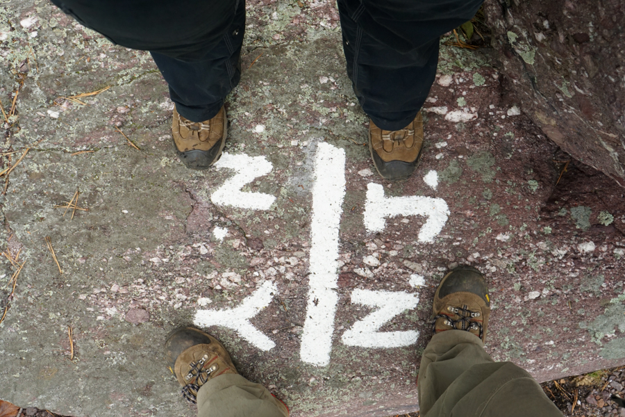
The New York/New Jersey border on our last day.
We spent the first two days hiking in the clouds. The one part of the trip that didn't quite work out as planned was that we didn't really see Delaware Water Gap. We were in the fog until we were well past it. Luckily, however, it only rained once the entire week and that was at night after we had all crawled into our tents. The terrain is really varied in New Jersey. The first half of the trip consisted of walking along the tops of ridges and we got nice views fairly frequently. After High Point, the trail crosses a number of valleys with farmland and wetlands between a series of ridges that have to be crossed.
It was a great trip. We definitely saw other people, including a number of southbounders on their way to Georgia, but it was never particularly crowded.
Camping at the Backpackers Site in Delaware Water Gap National Recreation Area.
This is what most of our second day looked like. No complaints, it was still really pretty.
On the morning of the third day, we were eating breakfast when I looked up and realized I could see blue sky. It took a couple of hours, but soon enough, we were hiking in sunshine, which was a welcome change. We took a break at lunch and spread all the damp gear out to dry.
The old pond where we had lunch on day 3.
Looking south towards where we started.
Mushrooms on a log near High Point
The monument at High Point State Park from the platform on the AT. We didn't hike up to the monument because we had all been there before.
As we hiked north, we saw more and more color on the trees. This was east of High Point State Park.
East of High Point, the trail descends into the valley and starts crossing farmland. We had great views through the section and in the morning, many of the valleys were filled with fog.
We also started crossing wetlands. New Jersey has and extensive network of bog boards on the AT, some of which are impressively long.
We stopped in Unionville, New York for pizza on our sixth day, which was a nice change from eating out of a ziplock bag.
The AT crosses the Walkill National Wildlife Refuge. There were lots of ducks and cranes in the water.
The Pochuck Boardwalk.
The view from Wayawanda Mountain on our seventh day. We could see all the way back to Delaware Water Gap and, although, you can't really make it out in the photo, the monument at High Point is visible, too.
The New York/New Jersey border on our last day.
